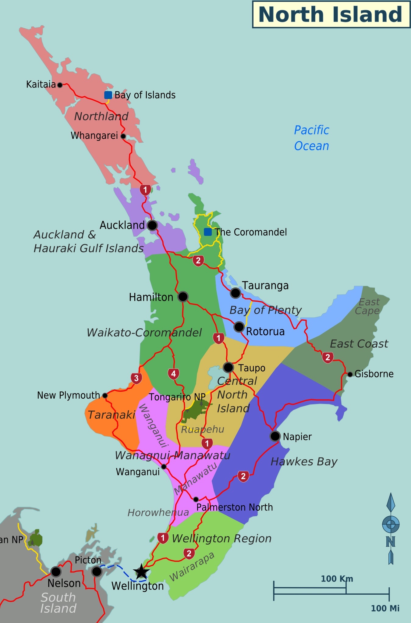
North Island
The Fish of Māui

Bear with me. This gets weird.
Until 1840, New Zealand was simply a part of New South Wales in Australia. That made for a fairly straight-forward org chart of administrative regions. With the treaty of Waitangi, however, New Zealand became its own place. The first thing they did was to split it up into littler places. So we had New Ulster, which was the North Island, New Munster, the South, followed shortly by New Leinster, all the little fiddly islands. Still ok on the org chart.
In 1846 British Parliament passed the New Zealand Constitution Act allowing for the creation of provinces. So they created the provinces of New Ulster and New Munster. All the fiddly islands were part of Munster.
The 1846 act was suspended in 1848, although it took months for news of this to reach the colony. When it did they set about creating the New Zealand Constitution Act, and by 1853 there were six provinces - Auckland, New Plymouth, Wellington, Nelson, Canterbury and Otago. This new act also created the political structure of the colony - General Assemblies, Legislative Councils, House of Representatives, stuff like that. It also created the electoral regulations. Everyone was welcome to engage on a free vote for whatever was being voted upon. Everyone who was male. And over 21. And owned property worth more than fifty pounds a year. That was code for White European.
In 1858 the New Provinces Act was passed. That allowed for any district of between 500 thousand and three million acres of land also containing a European population of at least 1,000 people to split off into their own province. So over the next few years there were upwards of ten provinces at any one time.
By 1875 opinion was split on the efficiency of provinces. For instance, different provinces were using a different gauge for their railway tracks. Things like this would, over time, have the effect of dividing the country. So the Centralists won out and provinces were abolished in 1877, becoming provincial districts with no particular powers, and very shortly after that morphing into 63 counties.
The fascinating story of administrative divisions continued, and today we find New Zealand divided into sixteen regions and one territory, based mainly on drainage basins. As good a basis for a boundary as any other. It is also divided into 53 districts. A District is not necessarily a sub-division of a region and some fall within more than one region.
For our purposes I think we'll stick with the original provinces. That makes our first stop in NZ the North Island.
Off we go!